


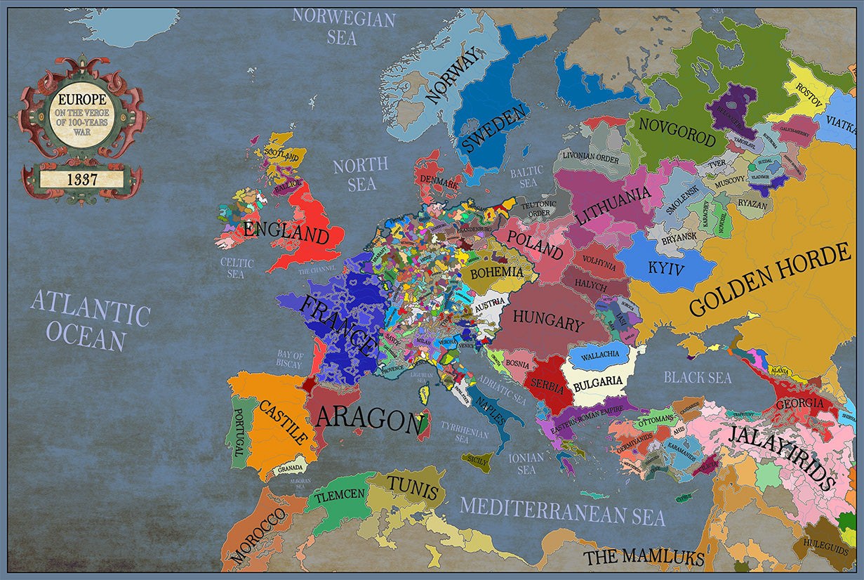


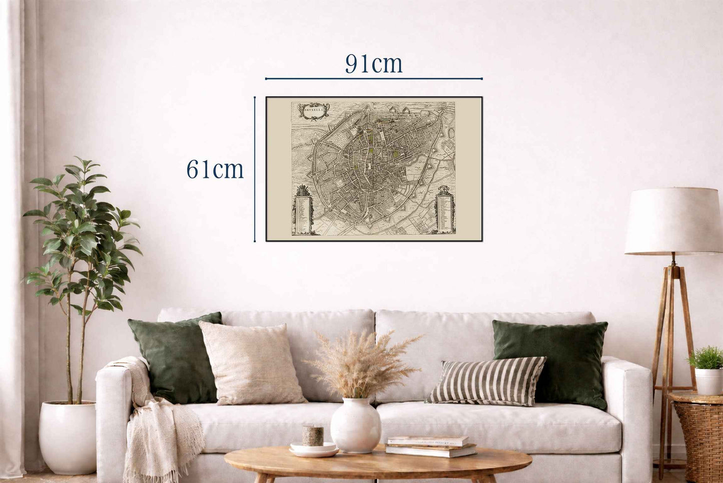
La imagen representa "Bruxella", un mapa de Bruselas, creado por Joan Blaeu y Willem Janszoon Blaeu, publicado en 1652. Esta obra forma parte de "Toonneel der Steeden van s'Konings Nederlanden, met hare Beschryvingen" de Blaeu, un atlas urbano de mediados del siglo XVII. Composición y Medio: El mapa es una ilustración grabada, típica de la época, caracterizada por un detalle meticuloso y precisión. La artesanía refleja los altos estándares del arte cartográfico en la Edad de Oro holandesa, enfatizando tanto la funcionalidad como el atractivo estético.




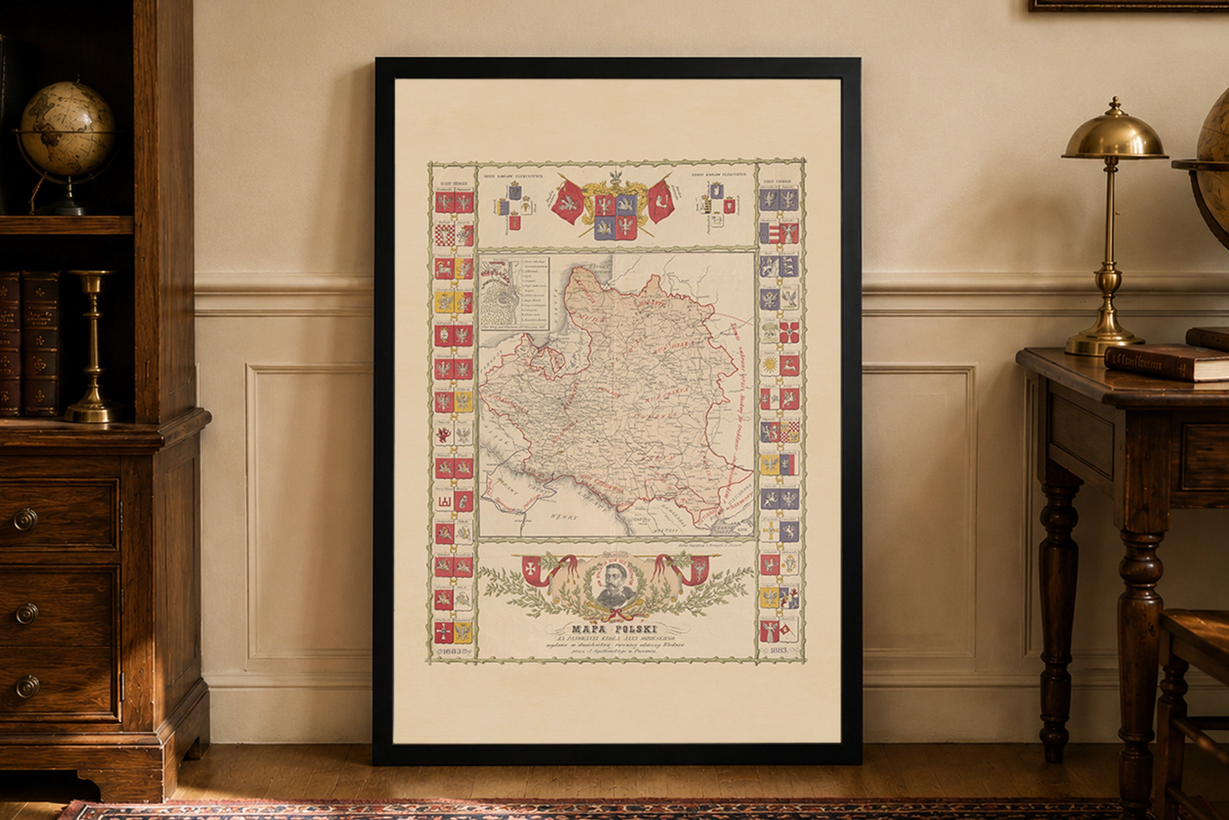
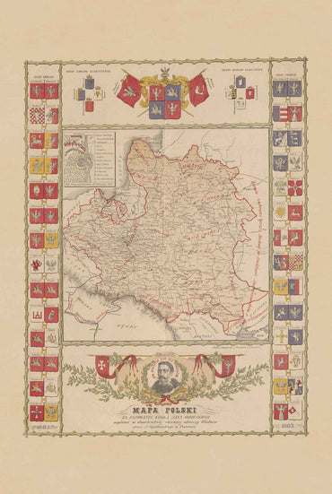
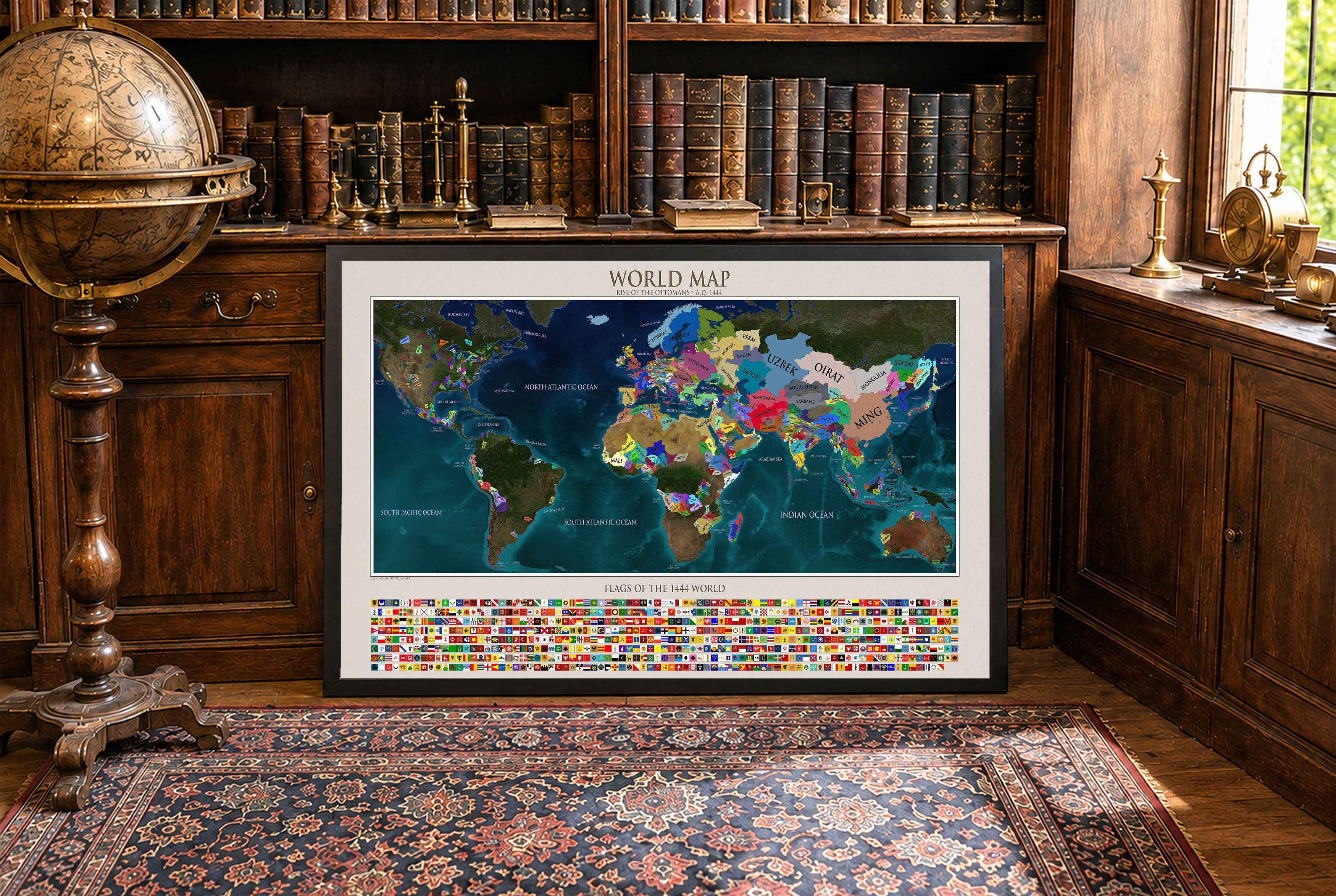
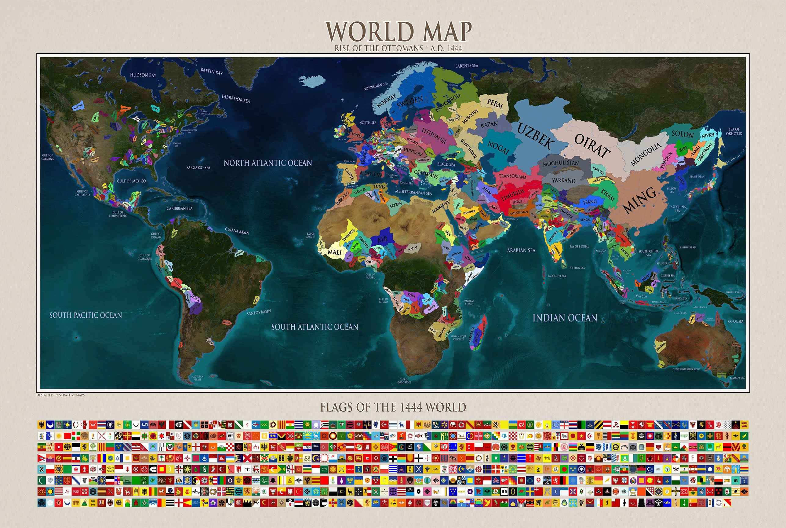
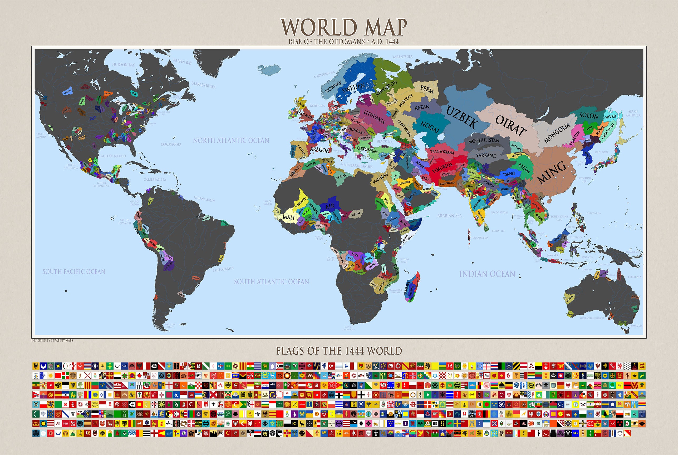



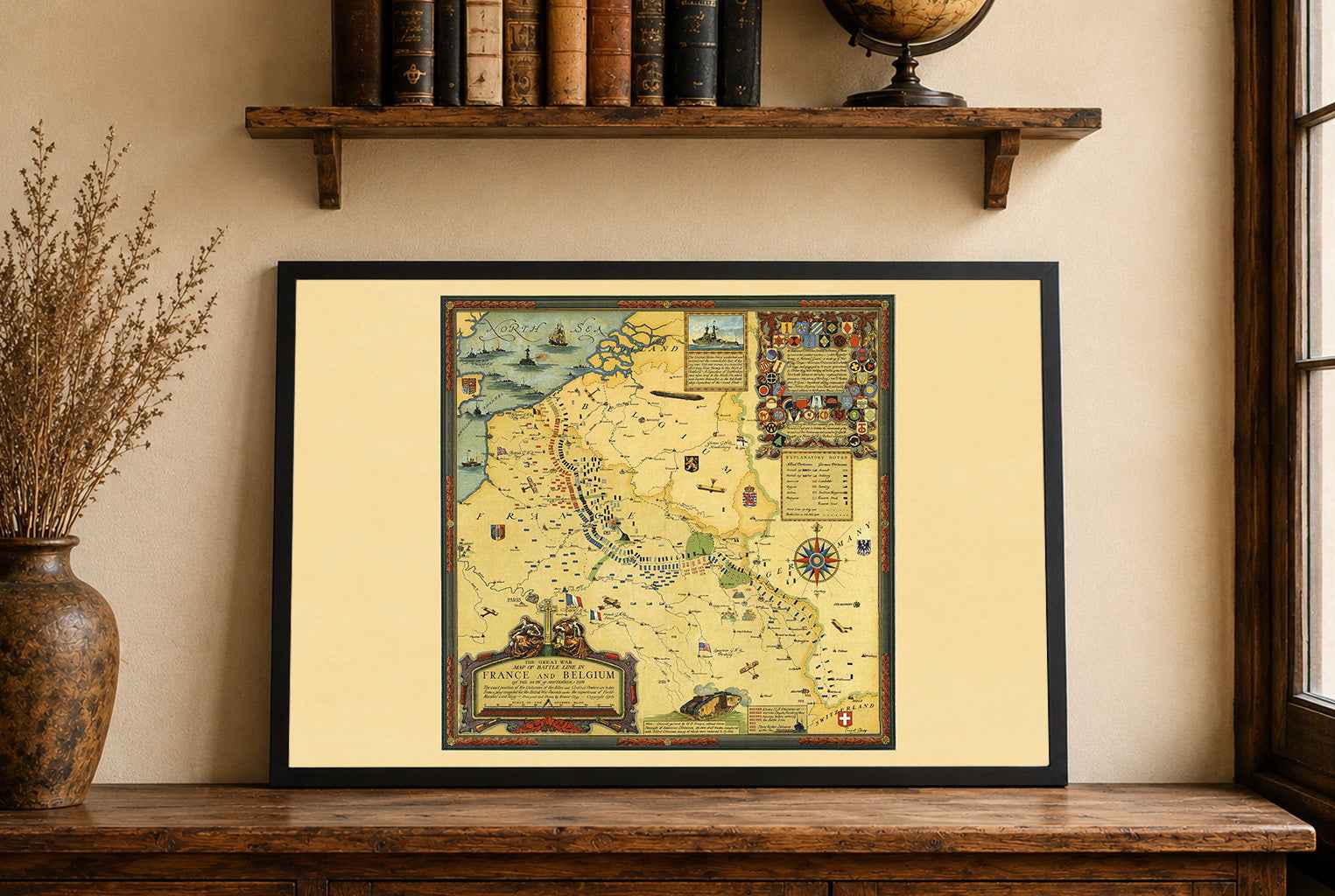


Super produkt i szybka obsługa. Zlewikk zgodził się na drobne poprawki i personalizacje mapy za co serdeczne podziękowania. Polecam z całego serca.
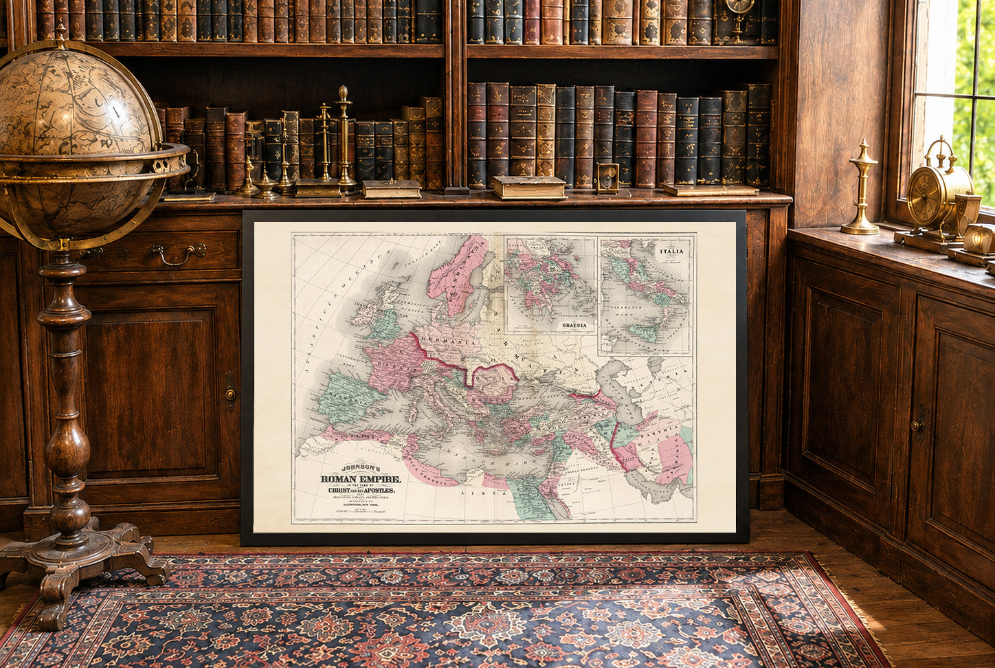
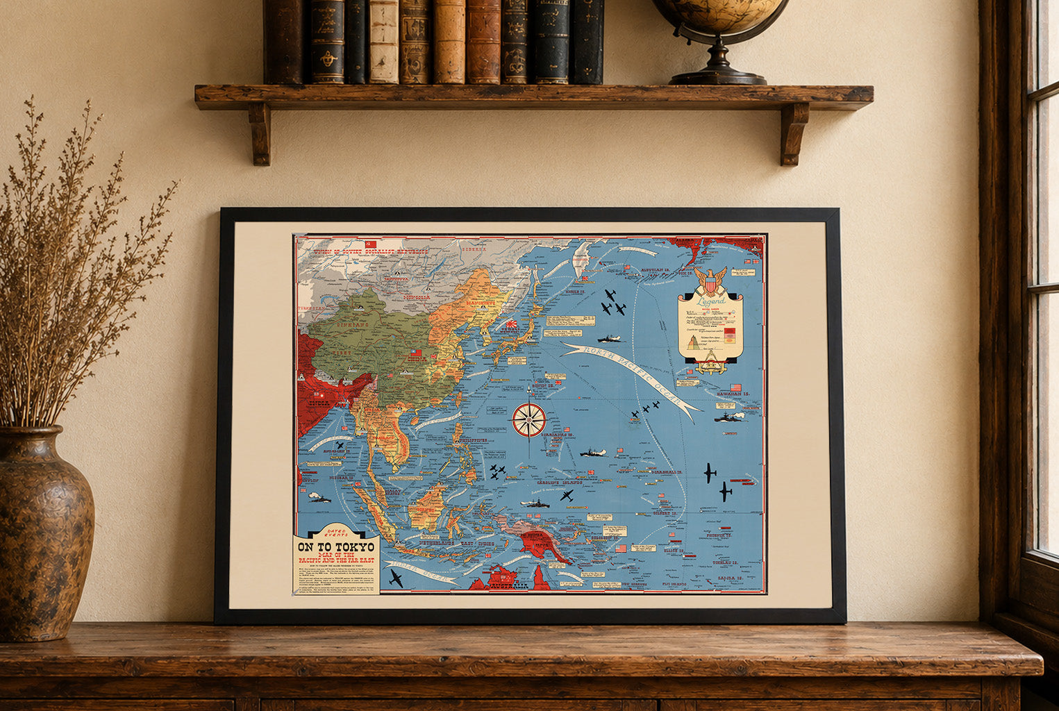
Maps came in a very well cushioned package with no damage occurring during transit. The color on the maps is nicely saturated and the maps look great on the wall.
Great quality, great packaging, great delivery! Highly recommend all maps!
Great material and colour saturation and means I can choose a country to play before turning on my PC :P
Map arrived in perfect condition and quality for reading cities, rivers, mountains and regions. Incredibly helpful in sourcing the map I wanted and adding it to the store.