




L'opera rappresentata è una mappa dettagliata di Bruges (Brugge), creata da Joan Blaeu e Willem Janszoon Blaeu. Questa mappa, datata 1652, fa parte di un atlante più ampio intitolato "Toonneel der Steeden van s'Konings Nederlanden, met hare Beschryvingen," pubblicato da Joan Blaeu. La mappa è una rappresentazione meticolosamente incisa di Bruges, che mostra la città vista dall'alto. Fa parte di un atlante che combina precisione cartografica con abbellimenti artistici, caratteristici dell'età d'oro olandese della cartografia. Il mezzo è probabilmente una stampa incisa, comune per le mappe di questo periodo grazie al livello di dettaglio ottenibile con l'incisione


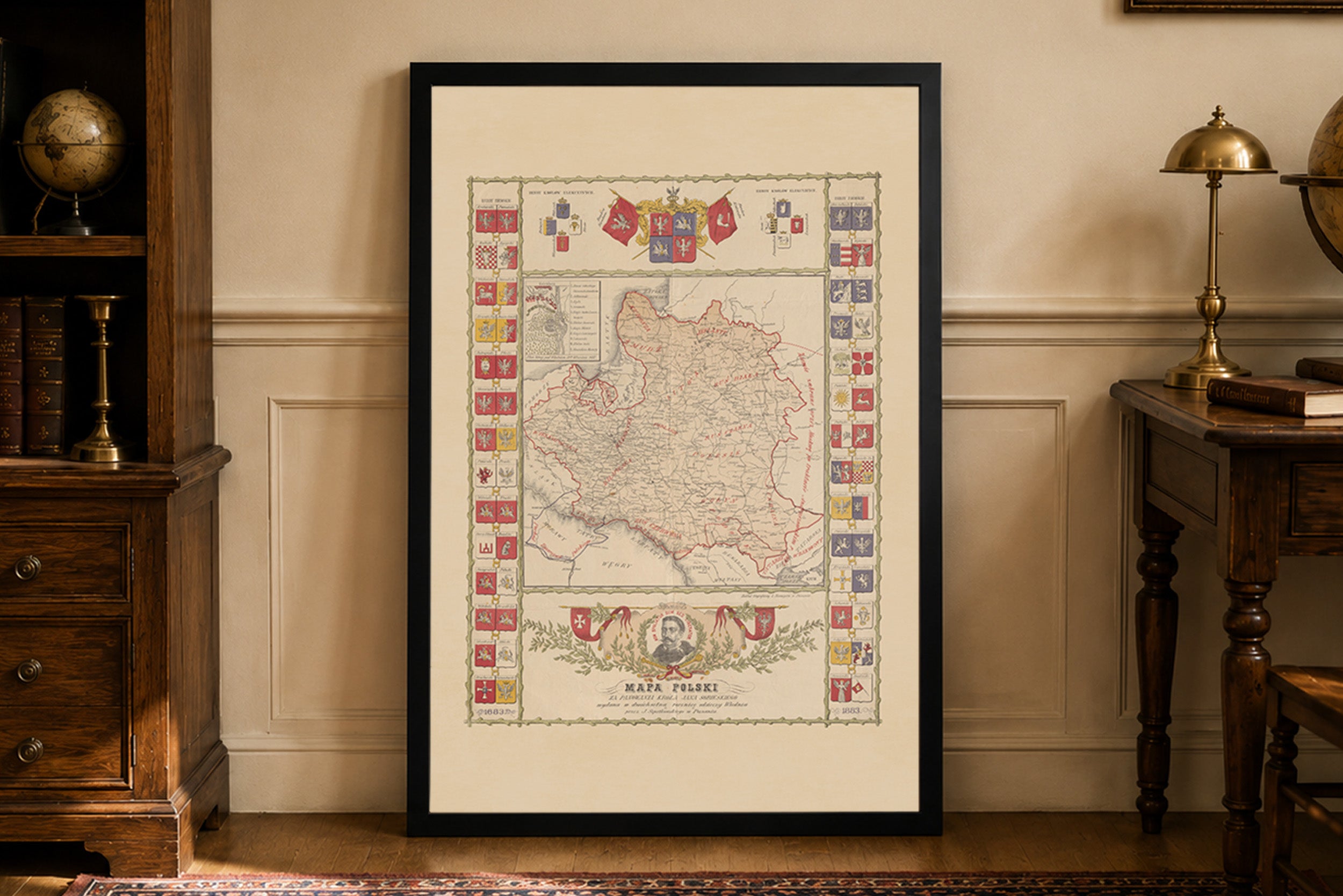
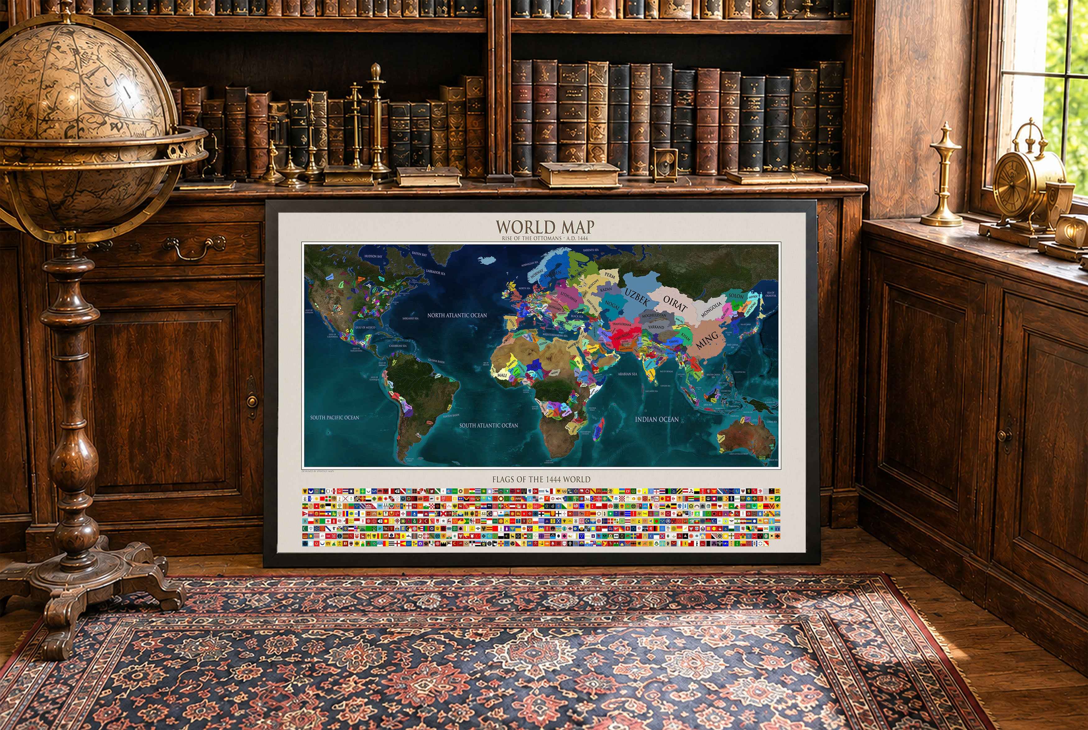
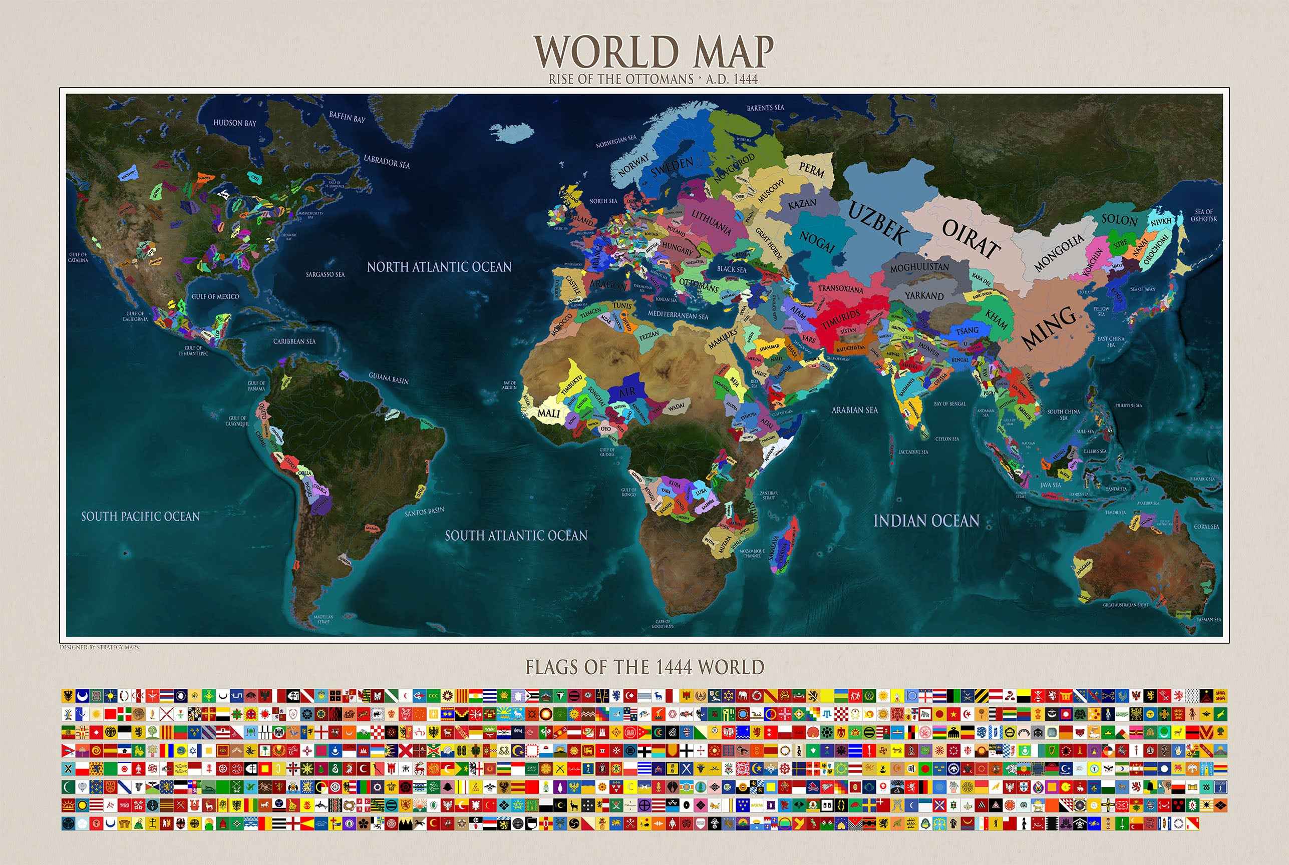
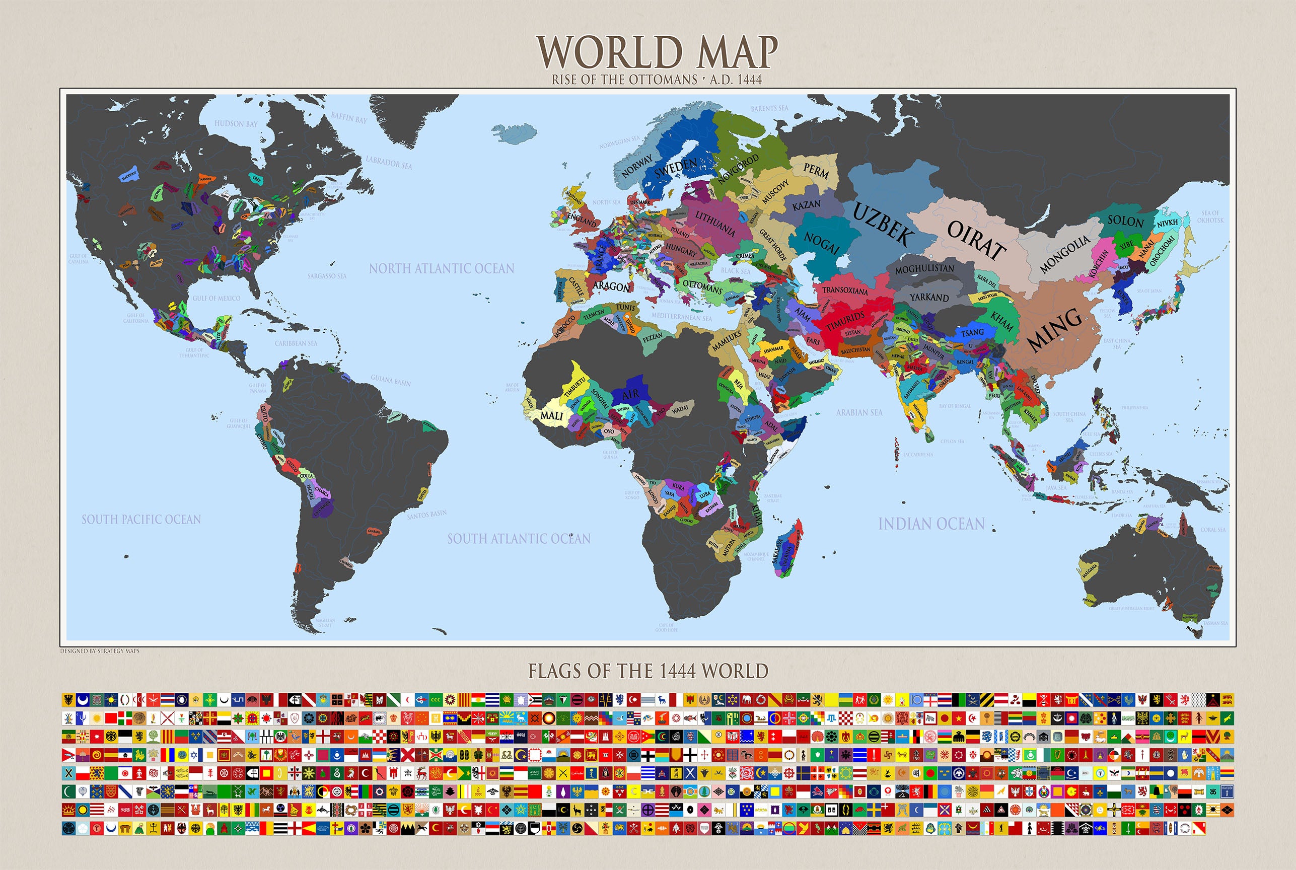
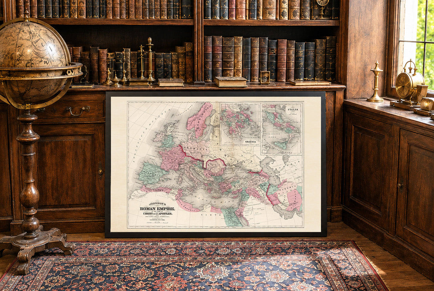
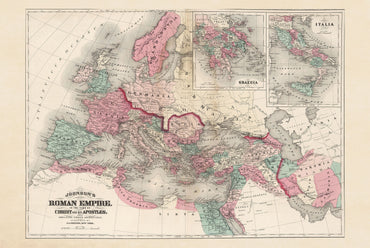

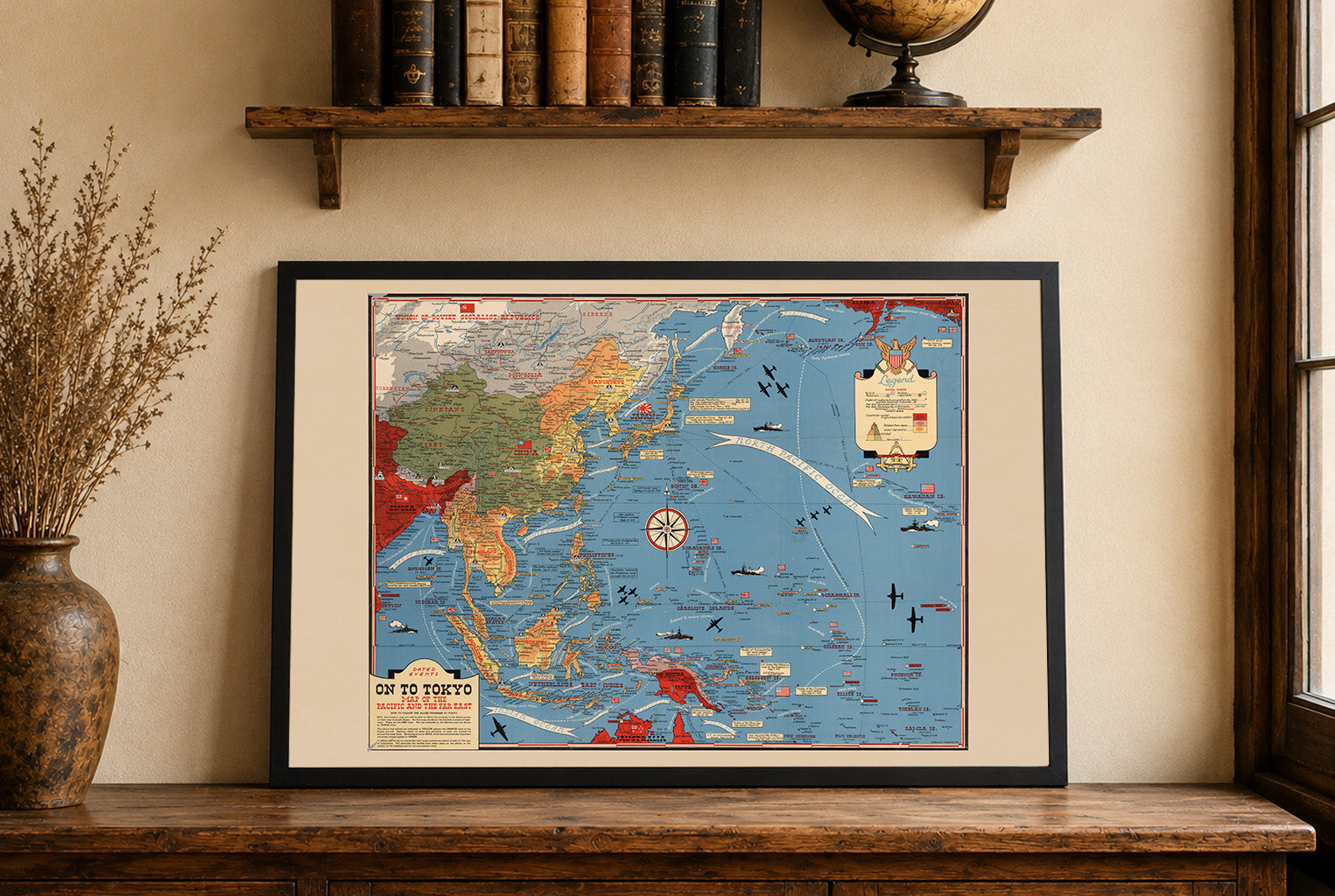
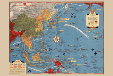


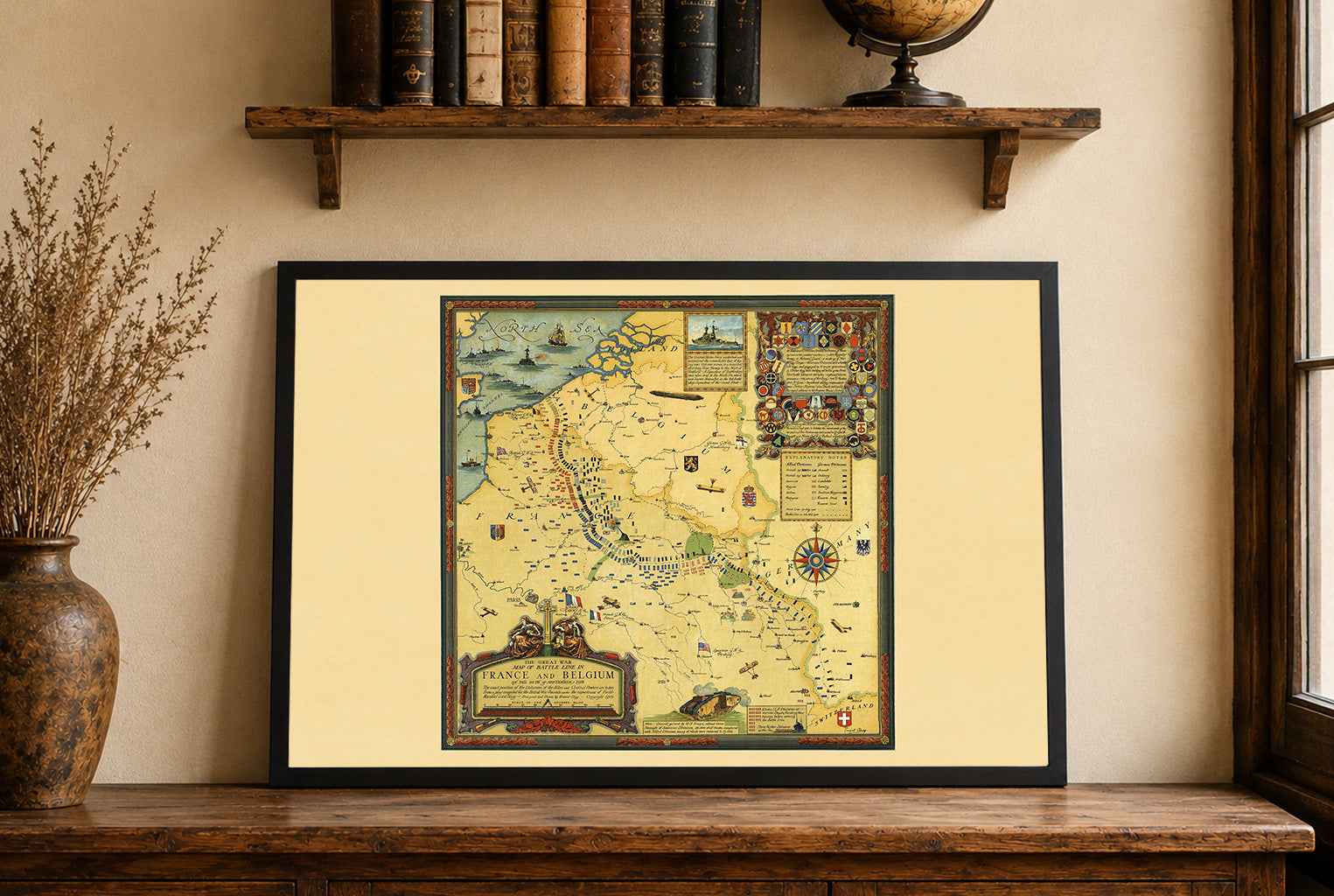
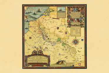


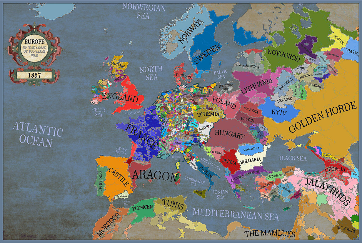
Maps came in a very well cushioned package with no damage occurring during transit. The color on the maps is nicely saturated and the maps look great on the wall.
Great quality, great packaging, great delivery! Highly recommend all maps!
Great material and colour saturation and means I can choose a country to play before turning on my PC :P
Map arrived in perfect condition and quality for reading cities, rivers, mountains and regions. Incredibly helpful in sourcing the map I wanted and adding it to the store.
Rotterdam is always 5 stars.