




Authors: Gerhard Mercator & Jodocus Hondius
Year: 1607
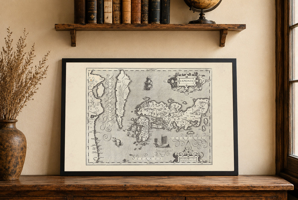
This is a reproduction print of the historical map “Iaponia”, created by Gerhard Mercator and Jodocus Hondius and published in 1607 as part of the second Mercator-Hondius atlas edition.
The map presents an early 17th-century European representation of Japan and Korea, created at a time when reliable geographic knowledge of East Asia was still developing. The Japanese archipelago dominates the composition, accompanied by part of the Korean Peninsula and numerous historical place names.
The finely engraved map is enriched with characteristic period decoration, including an ornate “Iaponia” title cartouche, a sailing ship and sea creatures. Latitude and longitude markings along the border reflect the growing importance of navigation and maritime exploration during the period.
Produced at a scale of approximately 1:4,500,000, the original engraving measured around 45 × 34 cm. Combining early geographic knowledge with elaborate decoration, Iaponia is a striking example of European cartography from the Age of Exploration.