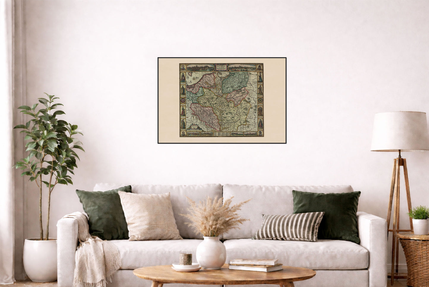




Step into the world of 17th-century Poland with this remarkable historical map poster of Poland and Silesia, created by Claes Janszoon Visscher and engraved by Abraham Goos in Amsterdam around 1630.
Titled Haec Tabula nova Poloniae et Silesiae, the map presents the lands of the Polish-Lithuanian Commonwealth during the reign of Sigismund III Vasa, whose portrait appears prominently in the decorative border. The map covers Poland and Silesia in considerable detail, showing towns, geographical features, rivers, and settlements across the region.
What makes this map particularly impressive is its elaborate decorative border. Four portraits of Polish rulers occupy the corners, while city views of Kraków, Gdańsk, Poznań, Krosno, Sandomierz, and Wrocław surround the map. The border also contains figures representing Polish and Silesian society, alongside the coats of arms of Poland and Silesia.
At the bottom, the map features Nomina quadraginta Regum Poloniae — a list of 40 rulers of Poland, making the work especially interesting as both a historical map and a visual presentation of Polish royal history.
Created during the early modern period, this copperplate engraving combines geographic information, royal portraits, city views, heraldry, and historical symbolism into a single extraordinary composition. It is an excellent piece of historical wall art for anyone interested in Polish history, the Polish-Lithuanian Commonwealth, Silesia, genealogy, royal history, or antique maps.
This is a reproduction print of a historical map
Visscher, Claes Janszoon (1587-1652)
Year: 1630